
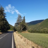
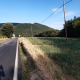
Percorso: Ca Romano (Abbadia di Naro) – Piobbico – Cima Montiego – Montiego – Ca Chiaruccio – Ca Romano
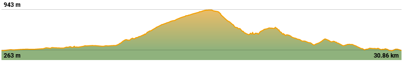
Tempo 3 ore – Distanza 31km – Dislivello 1100m
NOTE: check the return route, which may be a little too steep. Verify return not from the village of Montiego but from another side Cima Castiglioni
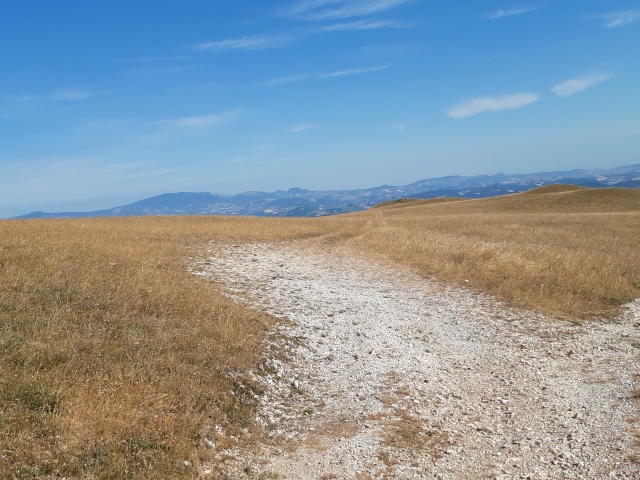
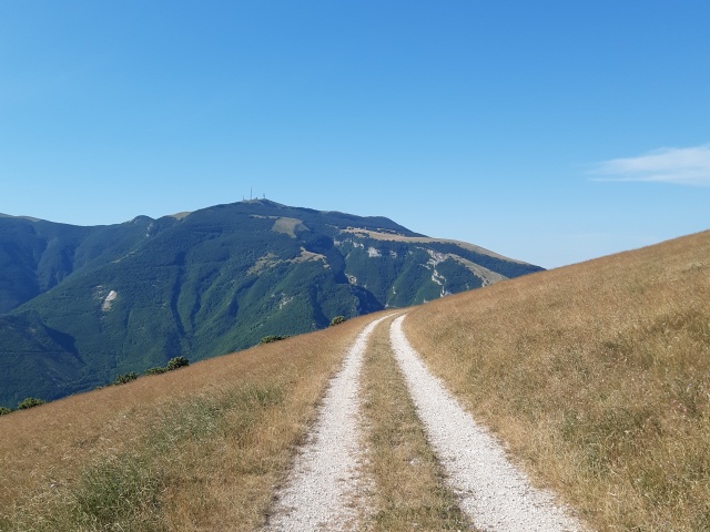
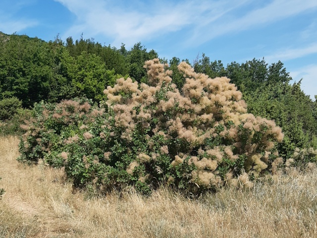
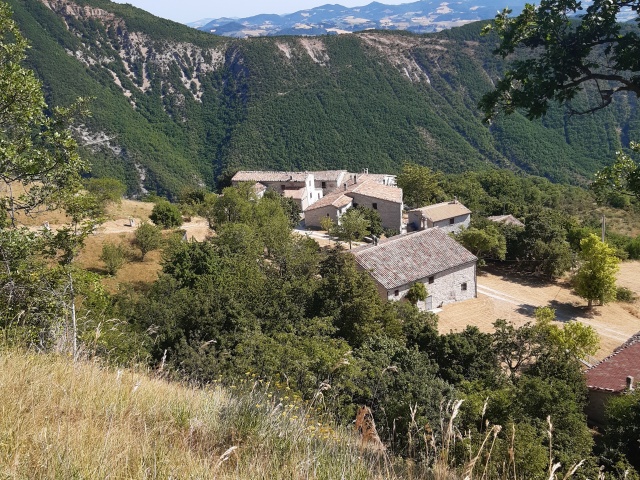
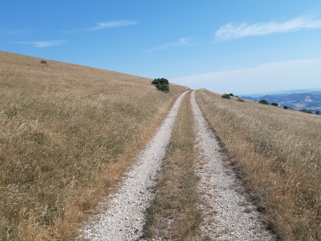
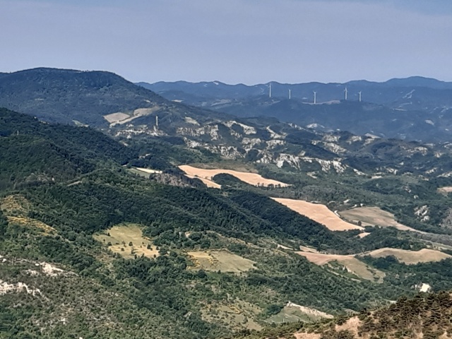
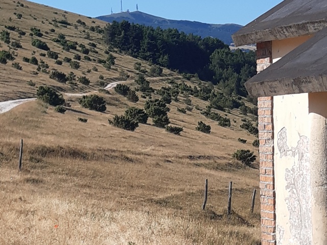
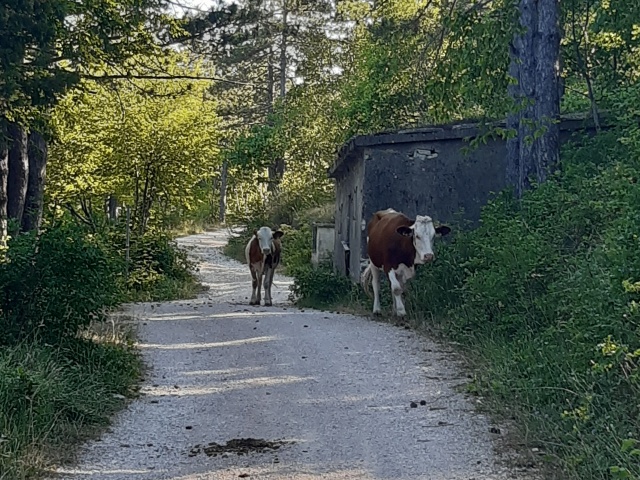
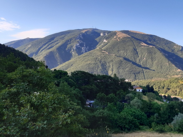
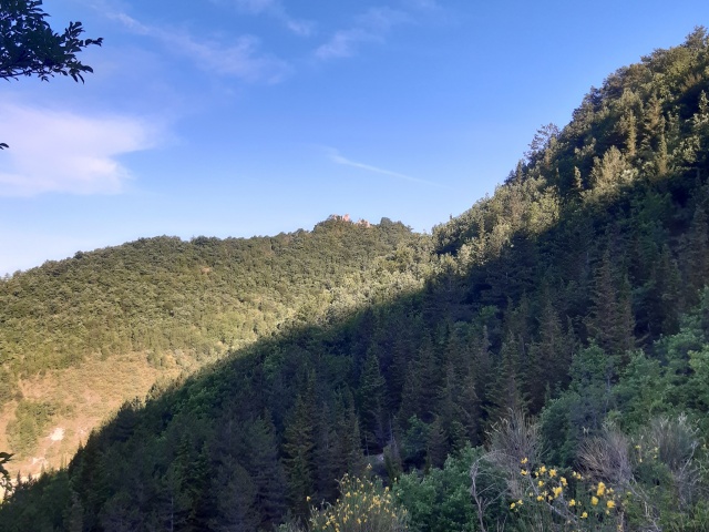
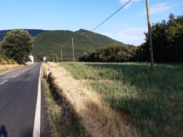
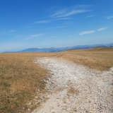
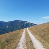
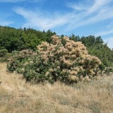
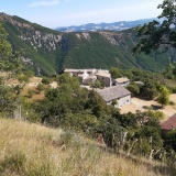
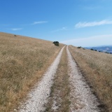
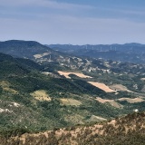
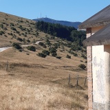
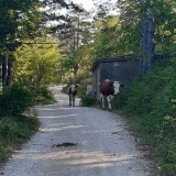
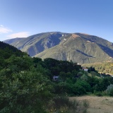
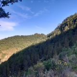
Departure from Ca Romano, at the junction for Ca Chiaruccio from where we will return. We proceed on asphalt to Piobbico, continue in the direction of Urbania and then turn onto Vocabolo La Breccia, following the signs for Montiego. We continue uphill to the crossroads that also has CAI signs. Turn right and take the road that climbs to the summit esplanade. Following the road around the summit, take the path that descends to the village of Montiego. Continue along the road that descends to the valley until the fork on the left that leads onto a fairly impervious stretch circling Cima Castiglioni. At the end of the path, we meet the secondary road that descends towards Urbania. We turn towards Ca Chiaruccia and Frontino, from where we return to the road that takes us back to our starting point.

Download the GPX file
gpxMontiego.gpx