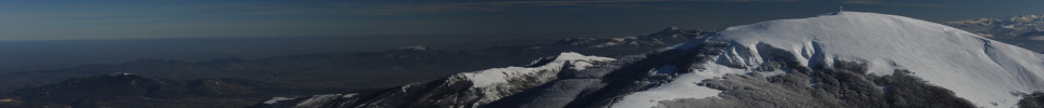
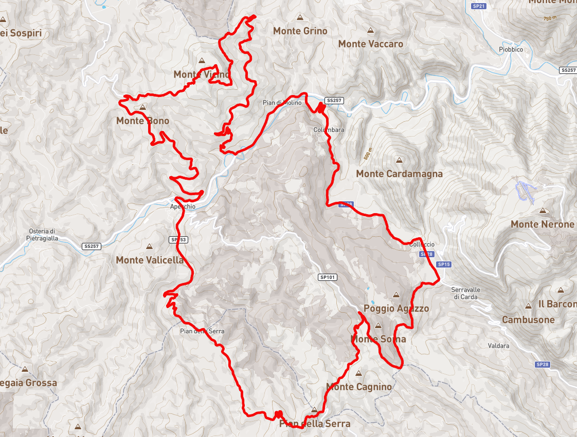
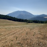
Route: Acquapartita – Apecchio – Monte Vicino – Pian di Molino – Acquapartita
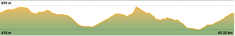
Time: 4 hours– Distance 43km – Altitude Difference 1200m
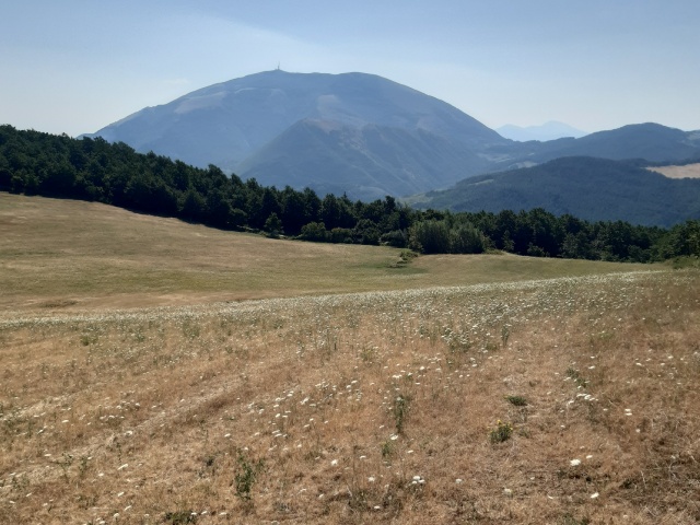
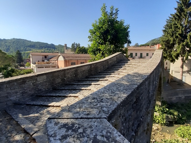
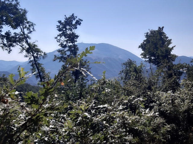
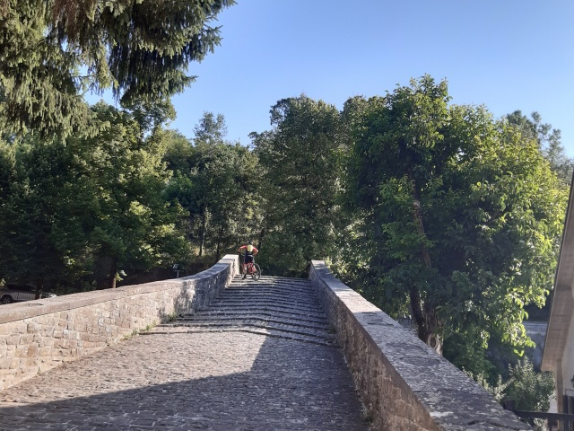
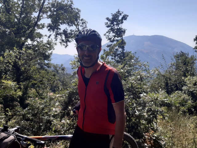
We start out near the Martinelli restaurant and follow the provincial road (…) of Pietralunga. Continue as far as the intersection with the other provincial road (201) that takes us into Apecchio. We cross the humpback bridge over the Biscubio and continue uphill on asphalt along the road to Sant Angelo in Vado. Past Monte Bono, we take a dirt road to the right and continue towards the summit of the Vicino. We then descend to the plain near the summit to rejoin the dirt road that leads back to the valley towards Apecchio and Pian di Molino. From there we continue on asphalt towards Pian di Trebbio and Acquapartita.
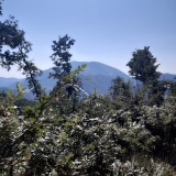
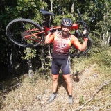
Caution: you cannot reach the summit of the Vicino by MTB, you must push on. This route will most likely be modified in the future …
Download the GPX file
gpxMonteVicino.gpx