Leccia - Monte Strega

Loading...
 |  |  |
M | ||
 |  |  |
 |  |  |
9/3/2014
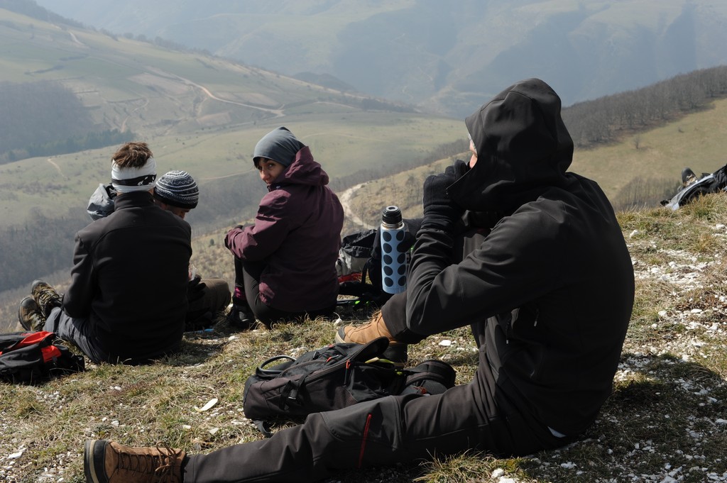
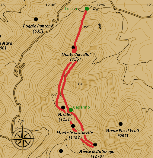
Trek length is about 4 hours.
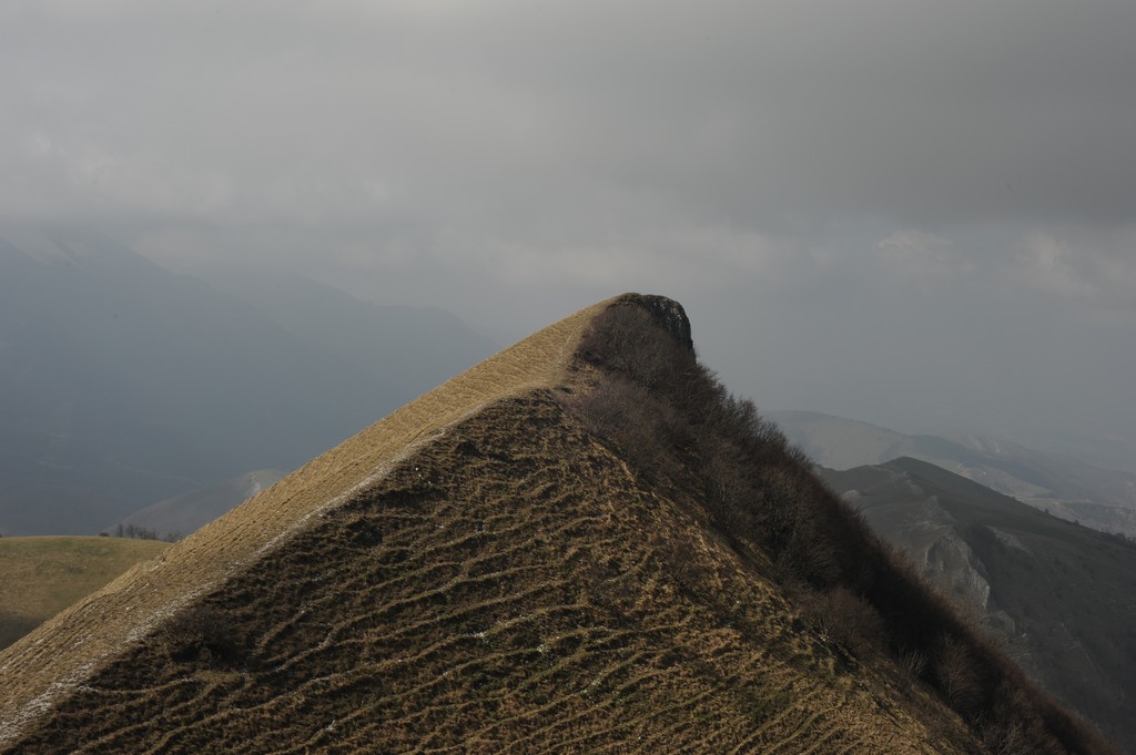
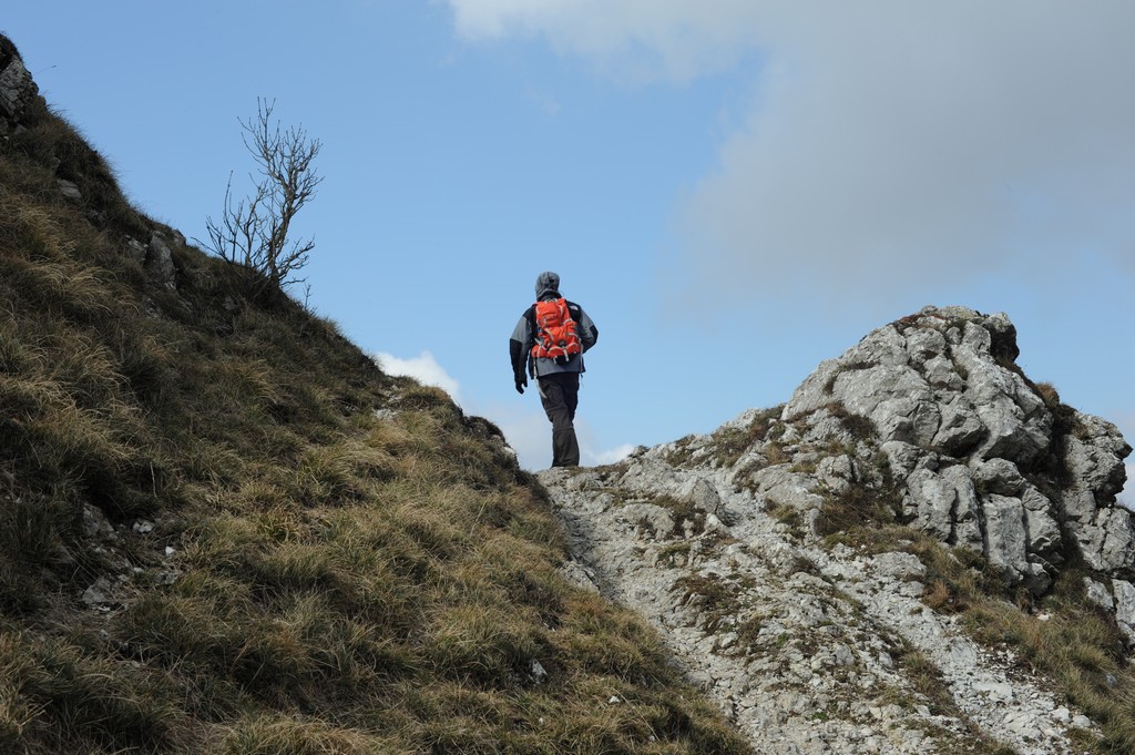
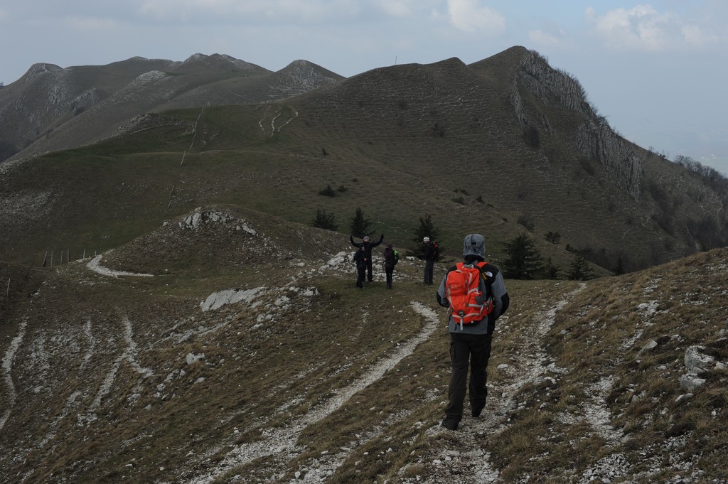
By car take the road from Serra S.Abbondio to Fonte Avellana. Take a left following the sign to Leccia. After a couple of km uphill you get to the first houses of the village and on the right from the main road you can see the sign for the trail 137. The trail is quite steep from the very beginning but is quite wide and comfortable. Once on the top you will cross a dirt road coming from the left, take it and leave it immediately for the first track on your right. The red and white signs are almost not existant. Again you will cross the road and again you need to leave it for the trail to your right. We actually did not see the pale sign on a tree and we continued on the road until the next fork, where we took a right anyway. No worries, even following the road you will get to a flat ground where you will see a metal sheet hut and a drinking trough. The trail continues on your right to the top of the crest where you can see delimiting poles. We continue on the left, pass a concrete water reservoir, and continue until we are on the left side of the mountain. We continue until we need to walk around a big protruding rock on our right, and we are then on the Marche and Umbria region borders, delimited by poles and barbed wire. We follow the fence on the evident trail until we need to climb a small hill on our left, getting finally to the end of the road coming up from Montelago. From here we just reach the top and the Monte Strega Cross. The return is made basically on the same itinerary except that, in stead of going around the big rock, we stay on top of the crest of Mount Costarelle, following the region border until we can see the metal hut again.
| Indra Trek and Travel - Design, photos and implementation by Lucio Magi © 2007 |
Best viewed with Mozilla Firefox |
 |
| Map made thanks to Maperitive and OpenStreetMap |